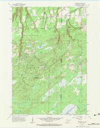
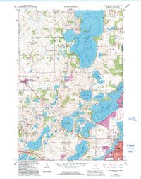
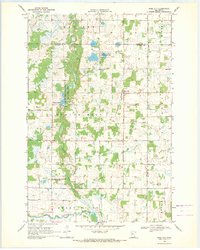
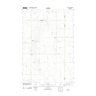
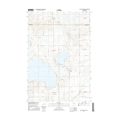
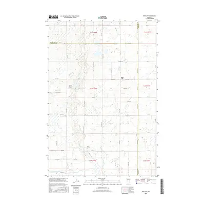
1954 Map of Foxboro
USGS Topo · Published 1964About this map
Foxboro and Harlis sit along the shifting borderlands of Minnesota and Wisconsin, where the rail lines of the mid-20th century carved a path through the dense timber of the Nemadji State Forest. This landscape is defined by its transit history, showing the Great Northern and the Minneapolis St Paul and Sault Ste Marie railroads intersecting the northern wetlands. An Old Railroad Grade suggests an even earlier layer of industrial movement through the township of Summit.
Find a feature on this map
21 named features on this map. Tap any name to fly to it.
Don’t see what you’re looking for? This feature index may not catch every label — zoom into the map to look around manually.
Map Details
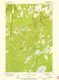
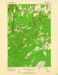
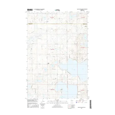
Editions of this 1954 Foxboro Map
4 editions found

Historical Maps of Summit Through Time
48 maps found
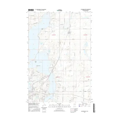
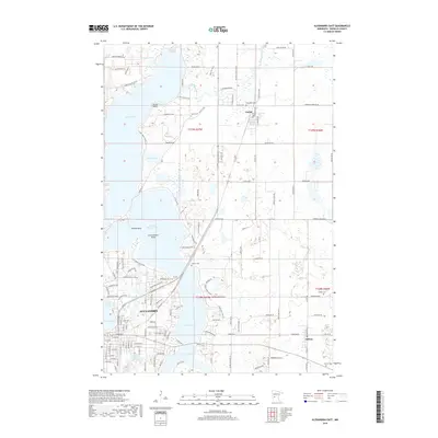
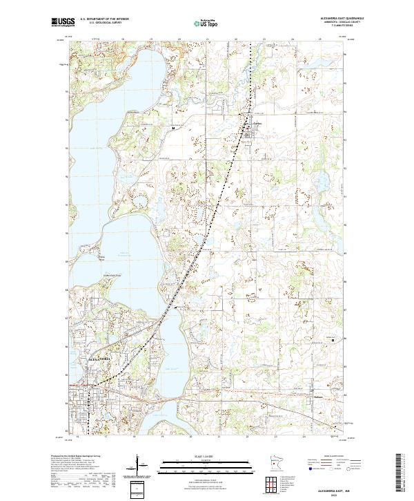
1966 Alexandria East
Douglas County, MN
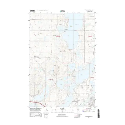
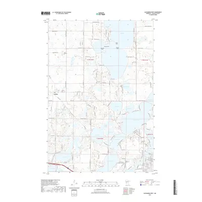
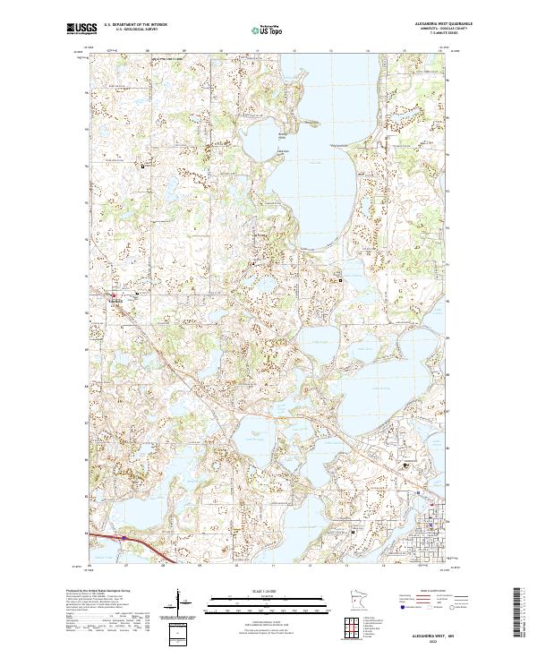
1966 Alexandria West
Douglas County, MN
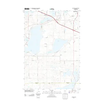
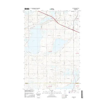
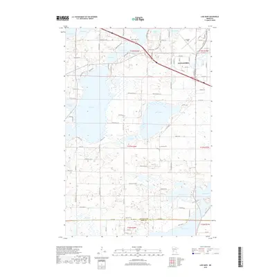
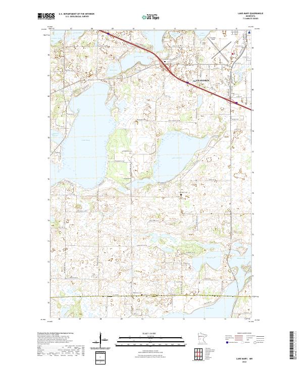
1966 Lake Mary
Douglas County, MN
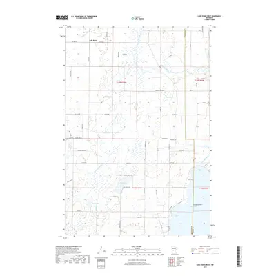
1966 Lake Osakis West
Douglas County, MN
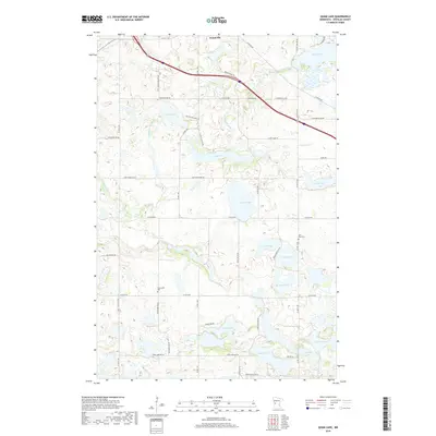
1966 Quam Lake
Douglas County, MN

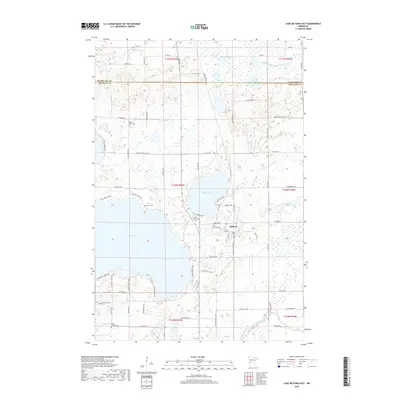
1969 Lake Miltona East
Douglas County, MN

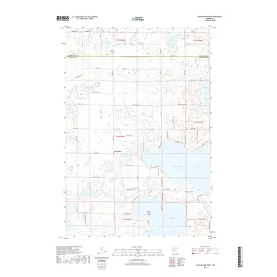
1969 Lake Miltona West
Douglas County, MN
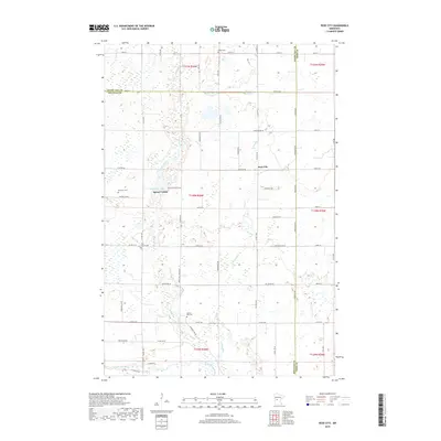
1969 Rose City
Douglas County, MN
2010 Alexandria East
Douglas County, MN
2010 Alexandria West
Douglas County, MN
2010 Lake Mary
Douglas County, MN
2010 Lake Miltona East
Douglas County, MN
2010 Lake Miltona West
Douglas County, MN
2010 Lake Osakis West
Douglas County, MN
2010 Quam Lake
Douglas County, MN
2010 Rose City
Douglas County, MN
2013 Alexandria East
Douglas County, MN
2013 Alexandria West
Douglas County, MN
2013 Lake Mary
Douglas County, MN
2013 Lake Miltona East
Douglas County, MN
2013 Lake Miltona West
Douglas County, MN
2013 Lake Osakis West
Douglas County, MN
2013 Quam Lake
Douglas County, MN
2013 Rose City
Douglas County, MN
2016 Alexandria East
Douglas County, MN
2016 Alexandria West
Douglas County, MN
2016 Lake Mary
Douglas County, MN
2016 Lake Miltona East
Douglas County, MN
2016 Lake Miltona West
Douglas County, MN
2016 Lake Osakis West
Douglas County, MN
2016 Quam Lake
Douglas County, MN
2016 Rose City
Douglas County, MN
2019 Alexandria East
Douglas County, MN
2019 Alexandria West
Douglas County, MN
2019 Lake Mary
Douglas County, MN
2019 Lake Miltona East
Douglas County, MN
2019 Lake Miltona West
Douglas County, MN
2019 Lake Osakis West
Douglas County, MN
2019 Quam Lake
Douglas County, MN
2019 Rose City
Douglas County, MN
2022 Alexandria East
Douglas County, MN
2022 Alexandria West
Douglas County, MN
2022 Lake Mary
Douglas County, MN
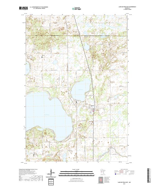
2022 Lake Miltona East
Douglas County, MN
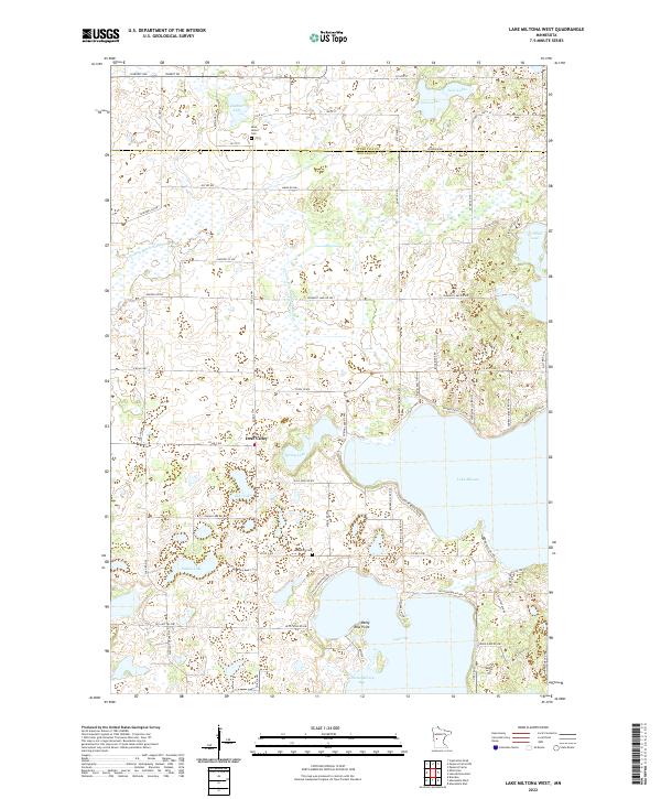
2022 Lake Miltona West
Douglas County, MN
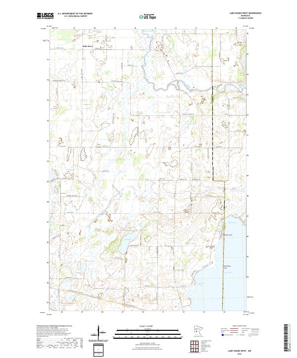
2022 Lake Osakis West
Douglas County, MN
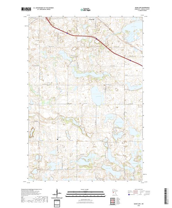
2022 Quam Lake
Douglas County, MN
2022 Rose City
Douglas County, MN