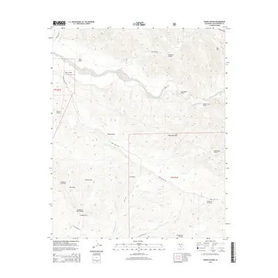
2015 Map of Foxen Canyon
USGS Topo · Published 2015About this map
The Sisquoc River meanders through the heart of this central California landscape, defining the transition between the Santa Maria Valley and the western reaches of the San Rafael Mountains. This terrain is characterized by a series of steep drainages including Kelly Canyon, Long Canyon, and the appropriately named Schoolhouse Canyon. The map reveals a network of canyons that have long served as vital corridors, with Foxen Canyon Rd and Alisos Canyon Rd following the natural contours of the land.
Find a feature on this map
29 named features on this map. Tap any name to fly to it.
Don’t see what you’re looking for? This feature index may not catch every label — zoom into the map to look around manually.
Map Details
Editions of this 2015 Foxen Canyon Map
This is the sole edition of this map. No revisions or reprints were ever made.
Other maps of this area

1905 · Lompoc
USGS Topo · 1:125,000

1942 · Lompoc
USGS Topo · 1:125,000

1942 · Lompoc
USGS Topo · 1:62,500

1942 · Santa Maria
USGS Topo · 1:62,500

1942 · Tepusquet Peak
USGS Topo · 1:62,500

1942 · Los Olivos
USGS Topo · 1:62,500

1943 · Los Olivos
USGS Topo · 1:62,500

1943 · Tepusquet Peak
USGS Topo · 1:62,500

1943 · Lompoc
USGS Topo · 1:125,000

1947 · Careaga Canyon
USGS Topo · 1:24,000