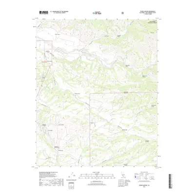
2018 Map of Foxen Canyon
USGS Topo · Published 2018About this map
Foxen Canyon sits at the heart of this topographical study within the San Rafael Mountains of Santa Barbara County. The landscape is defined by the winding course of the Sisquoc River, which flows through a wide valley floor before entering narrower canyon reaches. This 2018 survey reveals the intricate drainage network of the region, where seasonal and perennial waters such as Tepusquet Cr and La Brea Cr carve through the steep terrain to meet the main river channel. The map reflects a sparsely populated area where topography dictated the placement of early roads and small agricultural settlements, preserving a snapshot of the backcountry just east of the Santa Maria Valley.
Find a feature on this map
4 named features on this map. Tap any name to fly to it.
Don’t see what you’re looking for? This feature index may not catch every label — zoom into the map to look around manually.
Map Details
Editions of this 2018 Foxen Canyon Map
This is the sole edition of this map. No revisions or reprints were ever made.
Other maps of this area

1905 · Lompoc
USGS Topo · 1:125,000

1942 · Lompoc
USGS Topo · 1:125,000

1942 · Lompoc
USGS Topo · 1:62,500

1942 · Santa Maria
USGS Topo · 1:62,500

1942 · Tepusquet Peak
USGS Topo · 1:62,500

1942 · Los Olivos
USGS Topo · 1:62,500

1943 · Los Olivos
USGS Topo · 1:62,500

1943 · Tepusquet Peak
USGS Topo · 1:62,500

1943 · Lompoc
USGS Topo · 1:125,000

1947 · Careaga Canyon
USGS Topo · 1:24,000