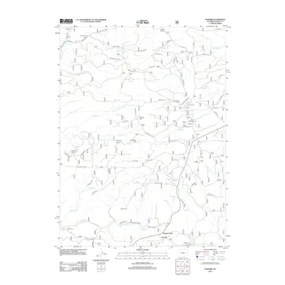
2012 Map of Foxpark
USGS Topo · Published 2012About this map
Fox Park and the high-elevation settlements of southern Wyoming appear here as they were organized in the early twenty-first century, revealing a landscape defined by forest management and ranching. The small communities of Wyocolo, Mountain Home, and Gramm are situated along the southern edge of the map, while Lake Creek Resort occupies the northwest corner, illustrating the area's dual identity as a working landscape and a recreational destination.
Find a feature on this map
74 named features on this map. Tap any name to fly to it.
Don’t see what you’re looking for? This feature index may not catch every label — zoom into the map to look around manually.
Map Details
Editions of this 2012 Foxpark Map
This is the sole edition of this map. No revisions or reprints were ever made.
Other maps of this area

1906 · Medicine Bow
USGS Topo · 1:125,000

1908 · Medicine Bow
USGS Topo · 1:125,000

1950 · Northgate
USGS Topo · 1:24,000

1950 · Kings Canyon
USGS Topo · 1:24,000

1952 · Northgate
USGS Topo · 1:24,000

1952 · Kings Canyon
USGS Topo · 1:24,000

1954 · Rawlins
USGS Topo · 1:250,000

1954 · Craig
USGS Topo · 1:250,000

1955 · Old Roach
USGS Topo · 1:24,000

1955 · Kings Canyon
USGS Topo · 1:62,500