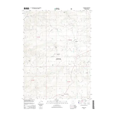
2015 Map of Foxpark
USGS Topo · Published 2015About this map
Foxpark sits at the heart of this high-elevation mountain landscape, positioned near the intersection of the Platte River Access Rd and the drainage of Fox Creek. This part of the Medicine Bow National Forest is defined by a dense network of forest roads and watercourses that drain the Medicine Bow Mountains, including the headwaters of Douglas Creek and Pelton Creek. Small settlements like Wyocolo and Mountain Home are found along the southern edge of the map, illustrating the persistent presence of small-scale mountain communities amidst the timber and recreational land.
Find a feature on this map
44 named features on this map. Tap any name to fly to it.
Don’t see what you’re looking for? This feature index may not catch every label — zoom into the map to look around manually.
Map Details
Editions of this 2015 Foxpark Map
This is the sole edition of this map. No revisions or reprints were ever made.
Other maps of this area

1906 · Medicine Bow
USGS Topo · 1:125,000

1908 · Medicine Bow
USGS Topo · 1:125,000

1950 · Northgate
USGS Topo · 1:24,000

1950 · Kings Canyon
USGS Topo · 1:24,000

1952 · Northgate
USGS Topo · 1:24,000

1952 · Kings Canyon
USGS Topo · 1:24,000

1954 · Rawlins
USGS Topo · 1:250,000

1954 · Craig
USGS Topo · 1:250,000

1955 · Old Roach
USGS Topo · 1:24,000

1955 · Kings Canyon
USGS Topo · 1:62,500