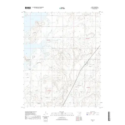
2019 Map of Foyil
USGS Topo · Published 2019About this map
Foyil serves as a central hub on this Rogers County landscape, where the rail line and road network intersect near the eastern shore of Oologah Lake. The topography is defined by prominent elevations such as the Coyote Hills, Long Mound, and the symmetrical Twin Mounds, which provide natural landmarks overlooking the surrounding creek valleys. Genealogists can locate legacy sites like Wards Grove Cem and Oowala Cem, reflecting the early communities of Oowala and Sequoyah. Drainage patterns are clearly marked by the winding paths of Blue Cr, Sweetwater Cr, and Dog Creek, showing how the land was settled around these water sources. The map captures a moment of transition between established small-town centers and the growing residential developments near the reservoir.
Find a feature on this map
49 named features on this map. Tap any name to fly to it.
Don’t see what you’re looking for? This feature index may not catch every label — zoom into the map to look around manually.
Map Details
Editions of this 2019 Foyil Map
This is the sole edition of this map. No revisions or reprints were ever made.
Other maps of this area

1896 · Pryor
USGS Topo · 1:125,000

1901 · Claremore
USGS Topo · 1:125,000

1901 · Nowata
USGS Topo · 1:125,000

1901 · Vinita
USGS Topo · 1:125,000

1901 · Pryor
USGS Topo · 1:125,000

1913 · Vinita
USGS Topo · 1:125,000

1914 · Nowata
USGS Topo · 1:125,000

1914 · Claremore
USGS Topo · 1:125,000

1916 · Claremore
USGS Topo · 1:125,000

1954 · Tulsa
USGS Topo · 1:250,000