
1964 Map of Francis Canyon
USGS Topo · Published 1966About this map
The high, mountainous terrain of the Cache National Forest defines this landscape, where the borders of Morgan, Rich, and Summit counties converge. Drainage from the high ridges feeds into the Lost Creek Reservoir in the northwest, a significant water management feature in this upland environment. The survey reveals a network of deeply etched canyons and named drainages that likely reflect early grazing and settlement patterns, such as Doc Dorlands Hollow and Beaver Dam Hollow.
Find a feature on this map
32 named features on this map. Tap any name to fly to it.
Don’t see what you’re looking for? This feature index may not catch every label — zoom into the map to look around manually.
Map Details
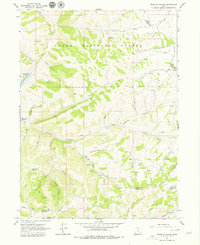
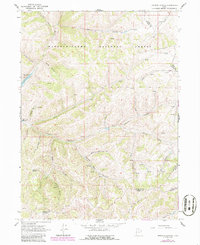
Editions of this 1964 Francis Canyon Map
3 editions found
Other maps of this area

1954 · Ogden
USGS Topo · 1:250,000

1958 · Ogden
USGS Topo · 1:250,000

1960 · Ogden
USGS Topo · 1:250,000

1964 · Lost Creek Dam
USGS Topo · 1:24,000
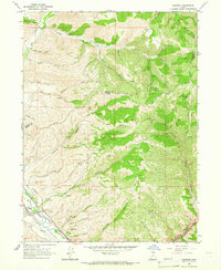
1964 · Henefer
USGS Topo · 1:24,000
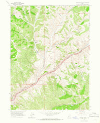
1964 · Heiners Creek
USGS Topo · 1:24,000

1968 · Horse Ridge
USGS Topo · 1:24,000

1968 · Shearing Corral
USGS Topo · 1:24,000

1968 · Mc Kay Hollow
USGS Topo · 1:24,000

1968 · Peck Canyon
USGS Topo · 1:24,000