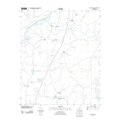
2011 Map of Francis Mill
USGS Topo · Published 2011About this map
Francis Mill and Martins Mill anchor this part of Alabama, where the landscape is defined by the winding paths of Cane Creek and Acker Creek as they flow toward the waters of Logan Martin Lake. The map reveals a cluster of settlements including Macon, Mitchellville, and Mount Olive, each connected by a network of established roads like Jackson Trace Rd and Fombys Ferry Rd.
Find a feature on this map
85 named features on this map. Tap any name to fly to it.
Don’t see what you’re looking for? This feature index may not catch every label — zoom into the map to look around manually.
Map Details
Editions of this 2011 Francis Mill Map
This is the sole edition of this map. No revisions or reprints were ever made.
Other maps of this area

1889 · Springville
USGS Topo · 1:125,000

1892 · Springville
USGS Topo · 1:125,000

1900 · Anniston
USGS Topo · 1:125,000

1947 · Cox Gap
USGS Topo · 1:24,000

1947 · Eastaboga
USGS Topo · 1:24,000

1947 · Ragland
USGS Topo · 1:62,500

1947 · Ragland
USGS Topo · 1:24,000

1947 · Riverside
USGS Topo · 1:24,000

1947 · Wellington
USGS Topo · 1:24,000

1947 · Francis Mill
USGS Topo · 1:24,000