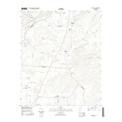
2014 Map of Francis Mill
USGS Topo · Published 2014About this map
Logan Martin Lake and the Coosa River define the western boundary of this landscape where Talladega, Calhoun, and St. Clair counties meet. The area is marked by a legacy of early industry and community centers, including Francis Mill and Martins Mill, which speak to the historic reliance on local waterpower. Settled pockets like Mitchellville and Macon are connected by a network of rural routes such as Jackson Trace Rd and Boiling Springs Rd. Natural landmarks like Sulphur Springs and Dills Spring indicate a terrain rich with groundwater. Genealogists will find several family and community burial grounds, including Pattons Chapel Cem, Refuge Cem, and Green Cem, providing essential touchstones for tracing family history in this corner of Alabama.
Find a feature on this map
80 named features on this map. Tap any name to fly to it.
Don’t see what you’re looking for? This feature index may not catch every label — zoom into the map to look around manually.
Map Details
Editions of this 2014 Francis Mill Map
This is the sole edition of this map. No revisions or reprints were ever made.
Other maps of this area

1889 · Springville
USGS Topo · 1:125,000

1892 · Springville
USGS Topo · 1:125,000

1900 · Anniston
USGS Topo · 1:125,000

1947 · Cox Gap
USGS Topo · 1:24,000

1947 · Eastaboga
USGS Topo · 1:24,000

1947 · Ragland
USGS Topo · 1:62,500

1947 · Ragland
USGS Topo · 1:24,000

1947 · Riverside
USGS Topo · 1:24,000

1947 · Wellington
USGS Topo · 1:24,000

1947 · Francis Mill
USGS Topo · 1:24,000