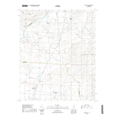
2018 Map of Francis Mill
USGS Topo · Published 2018About this map
Lincoln sits at the southern edge of this East Alabama landscape, where the terrain transitions from the developed corridors of t16s r5e into the creek-fed lowlands of the Coosa River valley. The map documents a rural network of small communities and family landmarks, such as Martins Mill and Macon, situated between the ridges. The influence of the river is evident at Poes Bend and Kirkseys Bend, while Logan Martin Lake occupies the northwestern corner. Genealogists can find several historic burial sites, including Pattons Chapel Cem, Refuge Cem, and Creswell Cem. The road network preserves legacy routes like Fomby's Ferry Rd and the Jackson Trace Rd, tracing the movement of early settlers through these hills long before modern highways reshaped the Coosa valley.
Find a feature on this map
88 named features on this map. Tap any name to fly to it.
Don’t see what you’re looking for? This feature index may not catch every label — zoom into the map to look around manually.
Map Details
Editions of this 2018 Francis Mill Map
This is the sole edition of this map. No revisions or reprints were ever made.
Other maps of this area

1889 · Springville
USGS Topo · 1:125,000

1892 · Springville
USGS Topo · 1:125,000

1900 · Anniston
USGS Topo · 1:125,000

1947 · Cox Gap
USGS Topo · 1:24,000

1947 · Eastaboga
USGS Topo · 1:24,000

1947 · Ragland
USGS Topo · 1:62,500

1947 · Ragland
USGS Topo · 1:24,000

1947 · Riverside
USGS Topo · 1:24,000

1947 · Wellington
USGS Topo · 1:24,000

1947 · Francis Mill
USGS Topo · 1:24,000