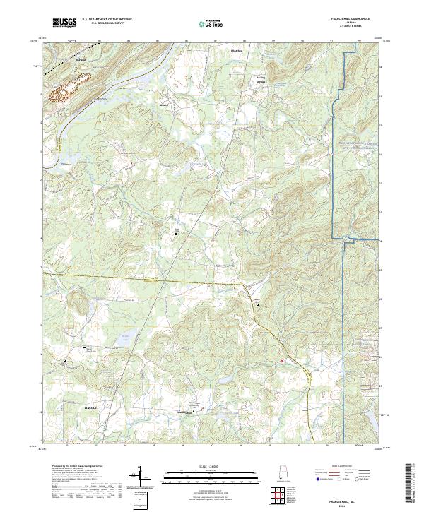
2024 Map of Francis Mill
USGS Topo · Published 2024About this map
The Coosa River defines the northwestern boundary of this landscape, carving deep loops at Poes Bend and Kirkseys Bend as it passes near the settlement of Ragland. This 2024 survey captures a complex borderland where St Clair Co and Calhoun Co meet, characterized by a transition from the riverbanks to the high-elevation training grounds of the NG Pelham Range Training Site Fort McClellan and the Anniston Army Depot in the east.
Find a feature on this map
95 named features on this map. Tap any name to fly to it.
Don’t see what you’re looking for? This feature index may not catch every label — zoom into the map to look around manually.
Map Details
Editions of this 2024 Francis Mill Map
This is the sole edition of this map. No revisions or reprints were ever made.
Other maps of this area

1889 · Springville
USGS Topo · 1:125,000

1892 · Springville
USGS Topo · 1:125,000

1900 · Anniston
USGS Topo · 1:125,000

1947 · Cox Gap
USGS Topo · 1:24,000

1947 · Eastaboga
USGS Topo · 1:24,000

1947 · Ragland
USGS Topo · 1:62,500

1947 · Ragland
USGS Topo · 1:24,000

1947 · Riverside
USGS Topo · 1:24,000

1947 · Wellington
USGS Topo · 1:24,000

1947 · Francis Mill
USGS Topo · 1:24,000