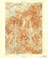
1932 Map of Franconia
USGS Topo · Published 1936About this map
Franconia Notch State Park serves as the focal point of this New Hampshire high-country survey, revealing the early development of tourism and conservation in the White Mountains. The landscape is defined by the steep pass through which the Daniel Webster Highway and the Pemigewasset River flow. Famous landmarks like The Profile and Mt Pemigewasset (Indian Head) are clearly marked, alongside the Profile Golf Club, illustrating the area's transition from an industrial frontier to a recreational destination.
Find a feature on this map
134 named features on this map. Tap any name to fly to it.
Don’t see what you’re looking for? This feature index may not catch every label — zoom into the map to look around manually.
Map Details
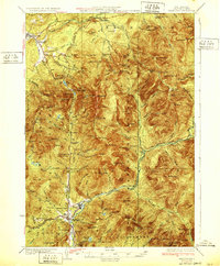
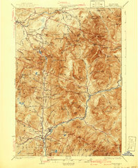
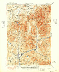
Editions of this 1932 Franconia Map
5 editions found

Other maps of this area

1893 · Mt. Washington
USGS Topo · 1:62,500

1895 · Crawford Notch
USGS Topo · 1:62,500

1896 · Mt. Washington
USGS Topo · 1:62,500

1896 · Crawford Notch
USGS Topo · 1:62,500

1900 · Whitefield
USGS Topo · 1:62,500

1928 · Plymouth
USGS Topo · 1:62,500

1928 · Rumney
USGS Topo · 1:62,500

1929 · Moosilauke
USGS Topo · 1:62,500

1929 · Franconia
USGS Topo · 1:62,500

1931 · Littleton
USGS Topo · 1:62,500