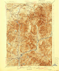
1932 Map of Franconia
USGS Topo · Published 1941About this map
Franconia and the high peaks of the White Mountain National Forest dominate this landscape, which was surveyed just before the early 1930s. The region is defined by the deep gorge of Franconia Notch, where the Daniel Webster Highway winds past iconic geological features like Profile Lake and The Basin. This era shows a fascinating transition in mountain tourism and industry; while the Appalachian Trail and the Aerial Tramway cater to growing numbers of hikers and sightseers, the valleys still hum with commercial activity.
Find a feature on this map
146 named features on this map. Tap any name to fly to it.
Don’t see what you’re looking for? This feature index may not catch every label — zoom into the map to look around manually.
Map Details
Editions of this 1932 Franconia Map
5 editions found

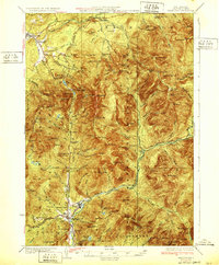
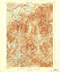
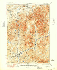
Other maps of this area

1893 · Mt. Washington
USGS Topo · 1:62,500

1895 · Crawford Notch
USGS Topo · 1:62,500

1896 · Mt. Washington
USGS Topo · 1:62,500

1896 · Crawford Notch
USGS Topo · 1:62,500

1900 · Whitefield
USGS Topo · 1:62,500

1928 · Plymouth
USGS Topo · 1:62,500

1928 · Rumney
USGS Topo · 1:62,500

1929 · Moosilauke
USGS Topo · 1:62,500

1929 · Franconia
USGS Topo · 1:62,500

1931 · Littleton
USGS Topo · 1:62,500