
1932 Map of Franconia
USGS Topo · Published 1932About this map
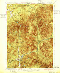
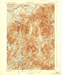
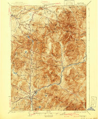
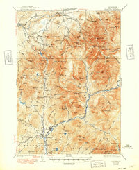
Franconia Notch serves as the central corridor for this 1932 topographic study, where the Daniel Webster Highway winds through the steep terrain of the White Mountain National Forest. This era shows a landscape where industrial logging and nascent tourism coexist. A Logging RR extends deep into the wilderness along the East Branch Pemigewasset River, illustrating the heavy timber operations of the early 20th century. Meanwhile, the presence of the Profile Golf Club, the Greenleaf Shelter, and the The Flume point toward the region's growing reputation for outdoor recreation.
Find a feature on this map
149 named features on this map. Tap any name to fly to it.
Don’t see what you’re looking for? This feature index may not catch every label — zoom into the map to look around manually.
Map Details
Editions of this 1932 Franconia Map
5 editions found
Other maps of this area

1893 · Mt. Washington
USGS Topo · 1:62,500

1895 · Crawford Notch
USGS Topo · 1:62,500

1896 · Mt. Washington
USGS Topo · 1:62,500

1896 · Crawford Notch
USGS Topo · 1:62,500

1900 · Whitefield
USGS Topo · 1:62,500

1928 · Plymouth
USGS Topo · 1:62,500

1928 · Rumney
USGS Topo · 1:62,500

1929 · Moosilauke
USGS Topo · 1:62,500

1929 · Franconia
USGS Topo · 1:62,500

1931 · Littleton
USGS Topo · 1:62,500