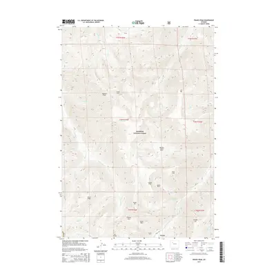
2015 Map of Francs Peak
USGS Topo · Published 2015About this map
Kirwin sits deep in the high alpine environment of the Absaroka Range, where the headwaters of the Wood River meet the steep slopes of the Shoshone National Forest. This 2015 survey details a landscape defined by significant elevation changes, from the heights of Francs Peak and Chief Mtn down to the dramatic Meadow Creek Basin. The map shows evidence of the region’s mining heritage through landmarks like the Mattice Tunnel and the Kirwin Trl, which provides access to this isolated mountain settlement. Water systems are prominent, with the Greybull River and its various tributaries such as Francs Fork and Avalanche Cr carving through the peaks. To the east, Jojo Mtn and Jojo Lake stand as landmarks near the boundary of T46N R103W, while the Greybull Pass serves as a critical geographic crossing between Brown Mtn and Mt Crosby.
Find a feature on this map
42 named features on this map. Tap any name to fly to it.
Don’t see what you’re looking for? This feature index may not catch every label — zoom into the map to look around manually.
Map Details
Editions of this 2015 Francs Peak Map
This is the sole edition of this map. No revisions or reprints were ever made.
Other maps of this area

1904 · Kirwin
USGS Topo · 1:125,000

1906 · Kirwin
USGS Topo · 1:125,000

1955 · Cody
USGS Topo · 1:250,000

1955 · Thermopolis
USGS Topo · 1:250,000

1957 · Irish Rock
USGS Topo · 1:62,500

1957 · Sunshine Reservoir
USGS Topo · 1:62,500

1958 · Cody
USGS Topo · 1:250,000

1958 · Thermopolis
USGS Topo · 1:250,000

1962 · Thermopolis
USGS Topo · 1:250,000

1962 · Cody
USGS Topo · 1:250,000