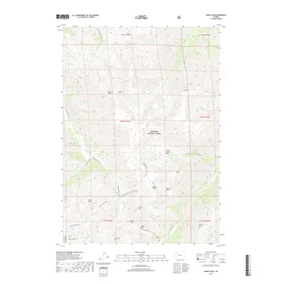
2017 Map of Francs Peak
USGS Topo · Published 2017About this map
Francs Peak stands as the highest point in this section of the Absaroka Range, overlooking a high-altitude landscape defined by deep basins and narrow ridges. The map documents the headwaters of the Greybull River and Wood River, illustrating a drainage system that has historically shaped travel and mining access through the mountains. An industrial presence is marked by the Mattice Tunnel near the head of the Wood River, reflecting the mineral exploration that once drew people into these remote reaches of the Shoshone National Forest. High-elevation crossings like Greybull Pass and various named routes, including the Greybull River Trail and Kirwin Tr, suggest a network of movement through the Galena Basin and Brown Basin that predates modern infrastructure, preserving the topographic character of this Park County wilderness.
Find a feature on this map
47 named features on this map. Tap any name to fly to it.
Don’t see what you’re looking for? This feature index may not catch every label — zoom into the map to look around manually.
Map Details
Editions of this 2017 Francs Peak Map
This is the sole edition of this map. No revisions or reprints were ever made.
Other maps of this area
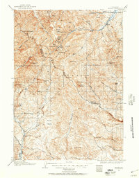
1904 · Kirwin
USGS Topo · 1:125,000
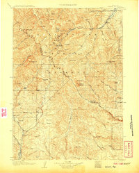
1906 · Kirwin
USGS Topo · 1:125,000

1955 · Cody
USGS Topo · 1:250,000

1955 · Thermopolis
USGS Topo · 1:250,000
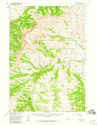
1957 · Irish Rock
USGS Topo · 1:62,500
1957 · Sunshine Reservoir
USGS Topo · 1:62,500

1958 · Cody
USGS Topo · 1:250,000
1958 · Thermopolis
USGS Topo · 1:250,000
1962 · Thermopolis
USGS Topo · 1:250,000

1962 · Cody
USGS Topo · 1:250,000