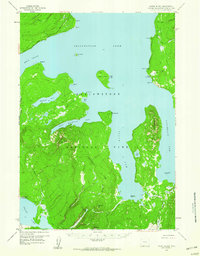
1959 Map of Frank Island
USGS Topo · Published 1960About this map
Yellowstone Lake dominates this mid-century survey, specifically focusing on the southern reaches where the South Arm and Southeast Arm penetrate deep into the high country. Centered on Frank Island, the map reveals a landscape defined by the Continental Divide, which separates the drainages of Yellowstone Lake from the southern basins like Heart Lake. The mapping reflects the operational infrastructure of the National Park during the late 1950s, recording essential backcountry outposts such as the Park Pt Patrol Cabin and the Heart Lake Patrol Cabin. Isolated features like Dot Island and the Molly Islands are clearly delineated alongside significant peaks like Flat Mtn and Channel Mtn. For the researcher, the map preserves the exact alignment of established routes including the Snake River Trail and Heart Lake Trail as they existed before modern developments or shifts in park management.
Find a feature on this map
40 named features on this map. Tap any name to fly to it.
Don’t see what you’re looking for? This feature index may not catch every label — zoom into the map to look around manually.
Map Details
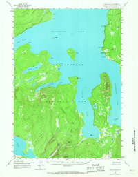
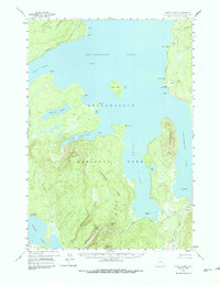
Editions of this 1959 Frank Island Map
3 editions found
Other maps of this area

1885 · Lake
USGS Topo · 1:125,000

1885 · Gallatin
USGS Topo · 1:125,000

1885 · Gallatin
USGS Topo · 1:125,000

1886 · Shoshone
USGS Topo · 1:125,000

1886 · Canyon
USGS Topo · 1:125,000

1888 · Shoshone
USGS Topo · 1:125,000

1895 · Shoshone
USGS Topo · 1:125,000

1895 · Canyon
USGS Topo · 1:125,000

1895 · Lake
USGS Topo · 1:125,000

1896 · Lake
USGS Topo · 1:125,000