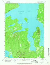
1959 Map of Frank Island
USGS Topo · Published 1967About this map
Yellowstone Lake dominates this mid-century survey, its expansive waters defining the geography of the central Yellowstone National Park plateau. The map captures the complex shoreline of the South Arm and West Thumb, where the lake meets the towering Continental Divide and Flat Mountain. This era of park management is reflected in the remote infrastructure necessary for wilderness oversight, specifically the Park Pt Patrol Cabin on the eastern shore and the Heart Lake Patrol Cabin near the southwestern corner.
Find a feature on this map
41 named features on this map. Tap any name to fly to it.
Don’t see what you’re looking for? This feature index may not catch every label — zoom into the map to look around manually.
Map Details
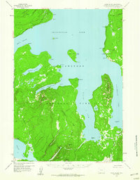
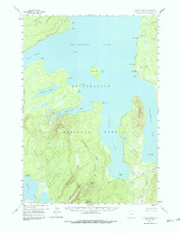
Editions of this 1959 Frank Island Map
3 editions found
Other maps of this area

1885 · Lake
USGS Topo · 1:125,000

1885 · Gallatin
USGS Topo · 1:125,000

1885 · Gallatin
USGS Topo · 1:125,000

1886 · Shoshone
USGS Topo · 1:125,000

1886 · Canyon
USGS Topo · 1:125,000

1888 · Shoshone
USGS Topo · 1:125,000

1895 · Shoshone
USGS Topo · 1:125,000

1895 · Canyon
USGS Topo · 1:125,000

1895 · Lake
USGS Topo · 1:125,000

1896 · Lake
USGS Topo · 1:125,000