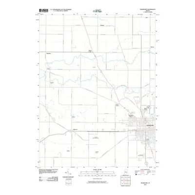
2010 Map of Frankfort
USGS Topo · Published 2010About this map
Frankfort serves as the central hub of this Clinton County landscape, characterized by a well-defined grid of streets and peripheral developments like Wesley Manor and Woodside Park. The surrounding countryside is defined by the winding paths of Kilmore Creek and Prairie Creek, which intersect an orderly network of county roads. Smaller settlements and historic crossroads such as Jefferson, Mattix Corner, Hamilton, and Cambria provide points of interest for those tracing local development and family roots.
Find a feature on this map
45 named features on this map. Tap any name to fly to it.
Don’t see what you’re looking for? This feature index may not catch every label — zoom into the map to look around manually.
Map Details
Editions of this 2010 Frankfort Map
This is the sole edition of this map. No revisions or reprints were ever made.
Other maps of this area

1953 · Danville
USGS Topo · 1:250,000

1955 · Danville
USGS Topo · 1:250,000

1956 · Danville
USGS Topo · 1:250,000

1961 · Michigantown
USGS Topo · 1:24,000

1961 · Mulberry
USGS Topo · 1:24,000

1961 · Pyrmont
USGS Topo · 1:24,000

1961 · Mechanicsburg
USGS Topo · 1:24,000

1961 · Rossville
USGS Topo · 1:24,000

1961 · Burlington
USGS Topo · 1:24,000

1961 · Frankfort
USGS Topo · 1:24,000