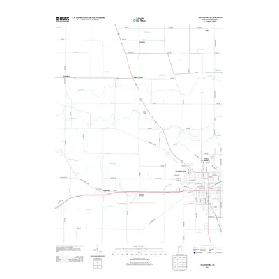
2013 Map of Frankfort
USGS Topo · Published 2013About this map
The agrarian landscape of Clinton County is defined here by a network of drainage ditches and creeks that support the fertile plains surrounding the city of Frankfort. Waterways such as S Fork Wildcat Cr and Heavilon Ditch wind through the township, interspersed with small rural clusters like Jefferson and Mattix Corner. The infrastructure is characterized by a precise grid of county roads, including W Farmers Gravel Rd, which connect the outlying settlements of Cambria and Hamilton to the central hub.
Find a feature on this map
98 named features on this map. Tap any name to fly to it.
Don’t see what you’re looking for? This feature index may not catch every label — zoom into the map to look around manually.
Map Details
Editions of this 2013 Frankfort Map
This is the sole edition of this map. No revisions or reprints were ever made.
Other maps of this area

1953 · Danville
USGS Topo · 1:250,000

1955 · Danville
USGS Topo · 1:250,000

1956 · Danville
USGS Topo · 1:250,000

1961 · Michigantown
USGS Topo · 1:24,000

1961 · Mulberry
USGS Topo · 1:24,000

1961 · Pyrmont
USGS Topo · 1:24,000

1961 · Mechanicsburg
USGS Topo · 1:24,000

1961 · Rossville
USGS Topo · 1:24,000

1961 · Burlington
USGS Topo · 1:24,000

1961 · Frankfort
USGS Topo · 1:24,000