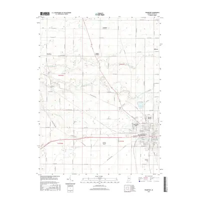
2016 Map of Frankfort
USGS Topo · Published 2016About this map
The county seat of Frankfort serves as the central hub for this portion of Clinton County, showing the urban grid alongside the agricultural expanse of the Indiana heartland. Settlement patterns radiate from the city center toward outlying communities such as Cambria, Kilmore, and Mattix Corner. The landscape is intricately carved by a network of drainage systems and waterways, including South Fork Wildcat Creek, Kilmore Creek, and Heavilon Ditch, which underscore the region's managed hydraulic history.
Find a feature on this map
64 named features on this map. Tap any name to fly to it.
Don’t see what you’re looking for? This feature index may not catch every label — zoom into the map to look around manually.
Map Details
Editions of this 2016 Frankfort Map
This is the sole edition of this map. No revisions or reprints were ever made.
Other maps of this area

1953 · Danville
USGS Topo · 1:250,000

1955 · Danville
USGS Topo · 1:250,000

1956 · Danville
USGS Topo · 1:250,000

1961 · Michigantown
USGS Topo · 1:24,000

1961 · Mulberry
USGS Topo · 1:24,000

1961 · Pyrmont
USGS Topo · 1:24,000

1961 · Mechanicsburg
USGS Topo · 1:24,000

1961 · Rossville
USGS Topo · 1:24,000

1961 · Burlington
USGS Topo · 1:24,000

1961 · Frankfort
USGS Topo · 1:24,000