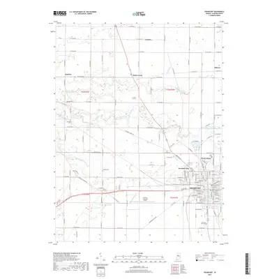
2019 Map of Frankfort
USGS Topo · Published 2019About this map
Frankfort serves as the central hub of this modern survey, surrounded by a productive agricultural landscape defined by a rectilinear road grid and a network of drainage ditches. The town's expansion is evident through residential developments like Woodside Park and Wesley Manor, while the presence of the Frankfort Municipal Airport and the manicured grounds of Greenlawn Memorial Park mark the urban periphery. Smaller outlying settlements such as Mattix Corner, Cambria, and Kilmore persist as historical nodes within the farming community.
Find a feature on this map
136 named features on this map. Tap any name to fly to it.
Don’t see what you’re looking for? This feature index may not catch every label — zoom into the map to look around manually.
Map Details
Editions of this 2019 Frankfort Map
This is the sole edition of this map. No revisions or reprints were ever made.
Other maps of this area

1953 · Danville
USGS Topo · 1:250,000

1955 · Danville
USGS Topo · 1:250,000

1956 · Danville
USGS Topo · 1:250,000

1961 · Michigantown
USGS Topo · 1:24,000

1961 · Mulberry
USGS Topo · 1:24,000

1961 · Pyrmont
USGS Topo · 1:24,000

1961 · Mechanicsburg
USGS Topo · 1:24,000

1961 · Rossville
USGS Topo · 1:24,000

1961 · Burlington
USGS Topo · 1:24,000

1961 · Frankfort
USGS Topo · 1:24,000