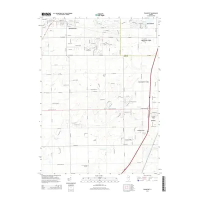
2015 Map of Frankfort
USGS Topo · Published 2015About this map
Frankfort and Monee anchor this 2015 survey of the suburban landscape south of Chicago, where the border of Cook Co and Will Co splits the residential expansion of Matteson and Richton Park. The map documents a territory where rural heritage persists alongside modern development, visible in the cluster of private airfields such as Frankfort Airport, Meadow Creek Airport, and Wix Airport.
Find a feature on this map
129 named features on this map. Tap any name to fly to it.
Don’t see what you’re looking for? This feature index may not catch every label — zoom into the map to look around manually.
Map Details
Editions of this 2015 Frankfort Map
This is the sole edition of this map. No revisions or reprints were ever made.
Other maps of this area

1890 · Des Plaines
USGS Topo · 1:62,500

1892 · Calumet
USGS Topo · 1:62,500

1893 · Calumet
USGS Topo · 1:62,500

1894 · Des Plaines
USGS Topo · 1:62,500

1900 · Des Plaines
USGS Topo · 1:62,500

1900 · Calumet
USGS Topo · 1:62,500

1901 · Calumet
USGS Topo · 1:62,500

1901 · Des Plaines
USGS Topo · 1:62,500

1929 · Tinley Park
USGS Topo · 1:24,000

1929 · Brisbane
USGS Topo · 1:24,000