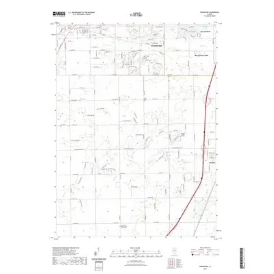
2021 Map of Frankfort
USGS Topo · Published 2021About this map
Frankfort and the surrounding plains of the Cook Co Will Co border region are captured here during a period of suburban expansion into traditional agricultural lands. The landscape is defined by its numerous small burial grounds, including Rose Hill Cem, Twining Cem, and the Saint John's United Church of Christ Cem at the southern edge, which serve as historical anchors for early family settlements. These sites contrast with modern infrastructure like Meadow Creek Airport and Wix Airport, reflecting the area's transition. Waterways like Hickory Cr, Prairie Cr, and Forked Cr traverse the township, often running parallel to established routes like W Sauk Trl and W Monee Manhattan Rd. The map illustrates how residential developments such as Richton Park and Matteson have integrated with the natural drainage systems and historical road grids of Will County.
Find a feature on this map
132 named features on this map. Tap any name to fly to it.
Don’t see what you’re looking for? This feature index may not catch every label — zoom into the map to look around manually.
Map Details
Editions of this 2021 Frankfort Map
This is the sole edition of this map. No revisions or reprints were ever made.
Other maps of this area

1890 · Des Plaines
USGS Topo · 1:62,500

1892 · Calumet
USGS Topo · 1:62,500

1893 · Calumet
USGS Topo · 1:62,500

1894 · Des Plaines
USGS Topo · 1:62,500

1900 · Des Plaines
USGS Topo · 1:62,500

1900 · Calumet
USGS Topo · 1:62,500

1901 · Calumet
USGS Topo · 1:62,500

1901 · Des Plaines
USGS Topo · 1:62,500

1929 · Tinley Park
USGS Topo · 1:24,000

1929 · Brisbane
USGS Topo · 1:24,000