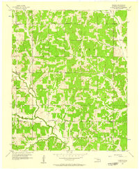
1956 Map of Franklin
USGS Topo · Published 1957About this map
The small settlement of Franklin sits at the heart of this mid-1950s survey of Cleveland County, serving as a quiet focal point in a landscape defined by its rural school districts and family-named landmarks. The terrain is deeply carved by the Little River and its tributaries, including East Elm Creek and Rock Creek, which dictate the winding paths of local roads and property boundaries. A dense network of local schools, such as Boston Sch and South Gale Sch, indicates the distributed nature of the community before the era of major school consolidation.
Find a feature on this map
23 named features on this map. Tap any name to fly to it.
Don’t see what you’re looking for? This feature index may not catch every label — zoom into the map to look around manually.
Map Details
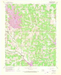
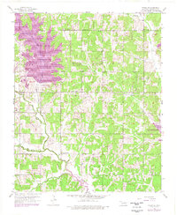
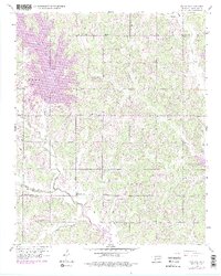
Editions of this 1956 Franklin Map
4 editions found
Other maps of this area

1892 · Moore
USGS Topo · 1:62,500

1893 · Norman
USGS Topo · 1:62,500

1898 · Purcell
USGS Topo · 1:125,000

1910 · McComb
USGS Topo · 1:62,500

1925 · Norman NO 2
USGS Topo · 1:24,000

1930 · McLoud
USGS Topo · 1:62,500

1934 · Crutcho Creek
USGS Topo · 1:24,000

1934 · Moore
USGS Topo · 1:62,500

1936 · Norman
USGS Topo · 1:62,500

1938 · Moore
USGS Topo · 1:62,500