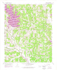
1956 Map of Franklin
USGS Topo · Published 1976About this map
Lake Draper and the northern reaches of Lake Thunderbird define this landscape east of Norman in the mid-1970s. The terrain is a network of ridges and drainages where East Stanley Elm Creek and Hog Creek flow toward the emerging reservoir system. This edition includes revisions compiled from 1969 and 1975 aerial photography, showing the significant footprint of the lakes against the earlier rural framework of the 1950s.
Find a feature on this map
22 named features on this map. Tap any name to fly to it.
Don’t see what you’re looking for? This feature index may not catch every label — zoom into the map to look around manually.
Map Details
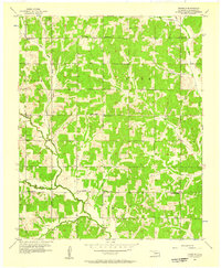
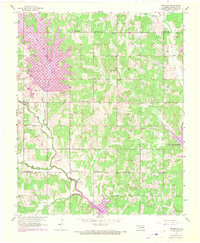
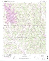
Editions of this 1956 Franklin Map
4 editions found
Other maps of this area

1892 · Moore
USGS Topo · 1:62,500

1893 · Norman
USGS Topo · 1:62,500

1898 · Purcell
USGS Topo · 1:125,000

1910 · McComb
USGS Topo · 1:62,500

1925 · Norman NO 2
USGS Topo · 1:24,000

1930 · McLoud
USGS Topo · 1:62,500

1934 · Crutcho Creek
USGS Topo · 1:24,000

1934 · Moore
USGS Topo · 1:62,500

1936 · Norman
USGS Topo · 1:62,500

1938 · Moore
USGS Topo · 1:62,500