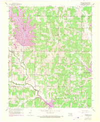
1956 Map of Franklin
USGS Topo · Published 1970About this map
The boundary between Oklahoma and Cleveland counties serves as a focal point for this landscape during a period of significant water infrastructure development. The western reaches are dominated by the Lake Stanley Draper reservoir, supported by a distinctive Aqueduct and Filtration Plant. This era shows the rural character of the area still intact around the settlement of Franklin, defined by a network of local institutions like Union Grove Ch and several country schools. The topographic detail captures the convergence of East Elm Creek and West Elm Creek as they feed into the Little River, while the southeastern corner reveals the northern reaches of Lake Thunderbird. Numerous small landmarks, including a Gas Well and several sandpits, illustrate the local economy and land use before suburban expansion reached this part of the state.
Find a feature on this map
30 named features on this map. Tap any name to fly to it.
Don’t see what you’re looking for? This feature index may not catch every label — zoom into the map to look around manually.
Map Details
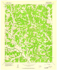
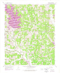
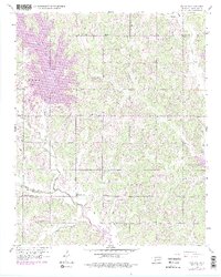
Editions of this 1956 Franklin Map
4 editions found
Other maps of this area

1892 · Moore
USGS Topo · 1:62,500

1893 · Norman
USGS Topo · 1:62,500

1898 · Purcell
USGS Topo · 1:125,000

1910 · McComb
USGS Topo · 1:62,500

1925 · Norman NO 2
USGS Topo · 1:24,000

1930 · McLoud
USGS Topo · 1:62,500

1934 · Crutcho Creek
USGS Topo · 1:24,000

1934 · Moore
USGS Topo · 1:62,500

1936 · Norman
USGS Topo · 1:62,500

1938 · Moore
USGS Topo · 1:62,500