
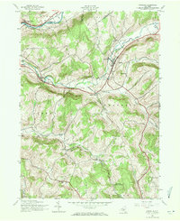
1943 Map of Franklin
USGS Topo · Published 1960About this map
The New York and Ontario Western railway cuts through this rural landscape, connecting small valley communities during the early 1940s. Centered on the village of Franklin, the map reveals a settlement pattern dictated by the winding path of Ouleout Creek and its tributaries. While Wells Bridge sits along the Susquehanna River at the northern edge, the interior is defined by a network of one-room schoolhouses and family-named cemeteries, such as School No 4 and Barnes Cem.
Find a feature on this map
48 named features on this map. Tap any name to fly to it.
Don’t see what you’re looking for? This feature index may not catch every label — zoom into the map to look around manually.
Map Details
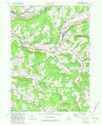
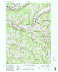
Editions of this 1943 Franklin Map
4 editions found
Other maps of this area

1915 · Oneonta
USGS Topo · 1:62,500

1915 · Unadilla
USGS Topo · 1:62,500

1918 · Unadilla
USGS Topo · 1:62,500

1918 · Oneonta
USGS Topo · 1:62,500

1923 · Walton
USGS Topo · 1:48,000

1924 · Deposit
USGS Topo · 1:62,500

1925 · Walton
USGS Topo · 1:62,500

1926 · Deposit
USGS Topo · 1:62,500

1943 · Gilbertsville
USGS Topo · 1:24,000
1943 · Oneonta
USGS Topo · 1:24,000