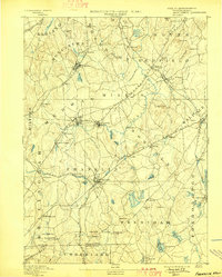
1893 Map of Franklin
USGS Topo · Published 1898About this map
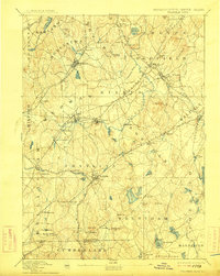
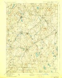
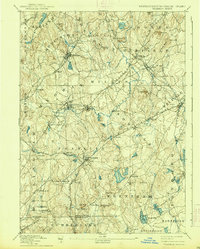
The Charles River winds through a late-nineteenth-century industrial and agricultural landscape where the New York and New England Railroad intersects with numerous branch lines. This era was defined by the transition from rural farming to localized manufacturing, evidenced by hubs like City Mills and Unionville. In the town of Franklin, a dense rail network including the Franklin Branch and Milford Branch supported growing settlements like Metcalf and Caryville. To the south, the Massachusetts Rhode Island Boundary Line separates the area from Cumberland and Woonsocket. Distinctive local landmarks such as Burnt Swamp Corner and the heights of Mt Nebo and Noon Hill anchor the terrain. The map captures many small hamlets and stations, from Whitney Sta to Sheldonville, that were vital during the height of the New England textile and milling period.
Find a feature on this map
96 named features on this map. Tap any name to fly to it.
Don’t see what you’re looking for? This feature index may not catch every label — zoom into the map to look around manually.
Map Details
Editions of this 1893 Franklin Map
8 editions found

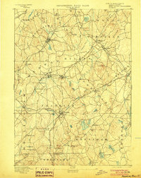
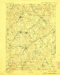
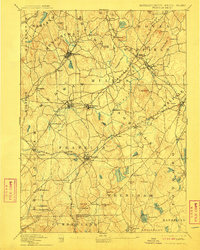
Other maps of this area

1885 · Taunton
USGS Topo · 1:62,500

1886 · Blackstone
USGS Topo · 1:62,500

1886 · Dedham
USGS Topo · 1:62,500

1886 · Framingham
USGS Topo · 1:62,500

1887 · Franklin
USGS Topo · 1:62,500

1887 · Providence
USGS Topo · 1:62,500

1887 · Marlboro
USGS Topo · 1:62,500

1888 · Taunton
USGS Topo · 1:62,500

1889 · Providence
USGS Topo · 1:62,500

1889 · Marlboro
USGS Topo · 1:62,500