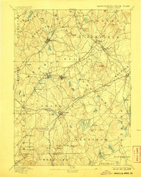
1893 Map of Franklin
USGS Topo · Published 1906About this map
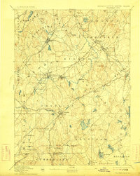
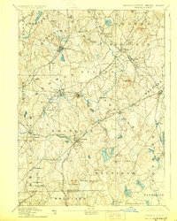
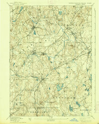
The Charles River winds through this late nineteenth-century industrial and agricultural landscape of Norfolk County, anchoring a network of mill villages and rail junctions. Before the massive suburbanization of the following century, the region was defined by distinct manufacturing hamlets like City Mills, Unionville, and Mechanicsville, each tied to the local water power and the expanding reach of the New York and New England Railroad. This survey reveals the dense web of transportation required for the area's growth, including the Hopkinton Railroad and the Milford and Woonsocket Branch. Higher ground is marked by numerous family-named landmarks such as Nason Hill and Paul Hill, while the lower wetlands are filled with distinctive features like Reservoir Marsh and Beaver Pd., illustrating the complex hydrology of the upper Charles and Neponset watersheds.
Find a feature on this map
103 named features on this map. Tap any name to fly to it.
Don’t see what you’re looking for? This feature index may not catch every label — zoom into the map to look around manually.
Map Details
Editions of this 1893 Franklin Map
8 editions found

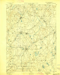
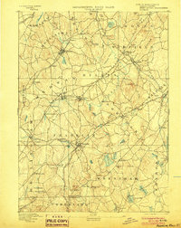
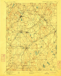
Other maps of this area

1885 · Taunton
USGS Topo · 1:62,500

1886 · Blackstone
USGS Topo · 1:62,500

1886 · Dedham
USGS Topo · 1:62,500

1886 · Framingham
USGS Topo · 1:62,500

1887 · Franklin
USGS Topo · 1:62,500

1887 · Providence
USGS Topo · 1:62,500

1887 · Marlboro
USGS Topo · 1:62,500

1888 · Taunton
USGS Topo · 1:62,500

1889 · Providence
USGS Topo · 1:62,500

1889 · Marlboro
USGS Topo · 1:62,500