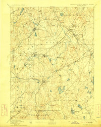
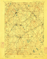
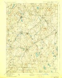
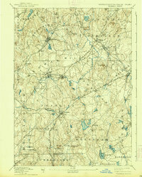
1893 Map of Franklin
USGS Topo · Published 1914About this map
The Charles River winds through this industrial and agricultural landscape of Norfolk County at the close of the nineteenth century, serving as a primary corridor for the region's development. This survey reveals a dense network of rail lines that fueled local commerce, including the Midland Div. and the Franklin Branch, which connected bustling manufacturing centers like Franklin and Medway to the larger Boston markets. The presence of specialized industrial settlements such as City Mills and Unionville highlights the era's reliance on water power, with numerous reservoirs and ponds like Whiting Pond and the Neponset Reservoir managed for mill use.
Find a feature on this map
101 named features on this map. Tap any name to fly to it.
Don’t see what you’re looking for? This feature index may not catch every label — zoom into the map to look around manually.
Map Details
Editions of this 1893 Franklin Map
8 editions found

Other maps of this area

1885 · Taunton
USGS Topo · 1:62,500

1886 · Blackstone
USGS Topo · 1:62,500

1886 · Dedham
USGS Topo · 1:62,500

1886 · Framingham
USGS Topo · 1:62,500

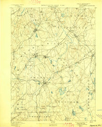
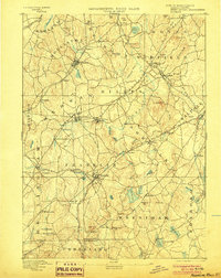
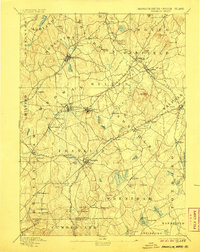
1887 · Franklin
USGS Topo · 1:62,500

1887 · Providence
USGS Topo · 1:62,500

1887 · Marlboro
USGS Topo · 1:62,500

1888 · Taunton
USGS Topo · 1:62,500

1889 · Providence
USGS Topo · 1:62,500

1889 · Marlboro
USGS Topo · 1:62,500