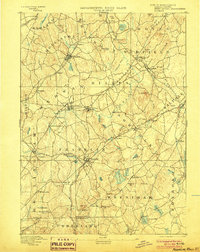
1893 Map of Franklin
USGS Topo · Published 1903About this map
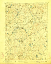
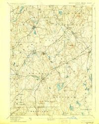
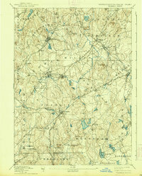
The Charles River winds through this late nineteenth-century landscape of eastern Massachusetts and northern Rhode Island, defining a region where water power and rail infrastructure drove local development. Industrial centers and small milling villages like City Mills and Unionville are shown at their peak, connected by a dense web of transportation including the Woonsocket Div. and the Franklin Branch railroad lines. To the north, the terrain is dotted with substantial hills such as Mt. Nebo and Castle Hill, while the southern reaches towards the Rhode Island border feature extensive water bodies like Whiting Pond and Shepardville Reservoir.
Find a feature on this map
97 named features on this map. Tap any name to fly to it.
Don’t see what you’re looking for? This feature index may not catch every label — zoom into the map to look around manually.
Map Details
Editions of this 1893 Franklin Map
8 editions found

Other maps of this area

1885 · Taunton
USGS Topo · 1:62,500

1886 · Blackstone
USGS Topo · 1:62,500

1886 · Dedham
USGS Topo · 1:62,500

1886 · Framingham
USGS Topo · 1:62,500

1887 · Franklin
USGS Topo · 1:62,500

1887 · Providence
USGS Topo · 1:62,500

1887 · Marlboro
USGS Topo · 1:62,500

1888 · Taunton
USGS Topo · 1:62,500

1889 · Providence
USGS Topo · 1:62,500

1889 · Marlboro
USGS Topo · 1:62,500