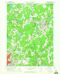
1964 Map of Franklin
USGS Topo · Published 1965About this map
The New York New Haven and Hartford Railroad cuts a diagonal path across this 1964 topographic study, linking industrial hubs like Franklin and Bellingham to the surrounding countryside. This region of Norfolk County and northern Providence County shows a landscape in mid-century transition, where residential developments like Country View Estates and Scott Hill Acres began bordering the dense woods of the Franklin State Forest. Along the southern border, the city of Woonsocket appears at its northern edge, featuring the Naval Training Center and the Radio Tower (WNRI).
Find a feature on this map
115 named features on this map. Tap any name to fly to it.
Don’t see what you’re looking for? This feature index may not catch every label — zoom into the map to look around manually.
Map Details
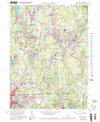
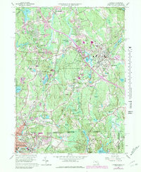
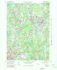
Editions of this 1964 Franklin Map
4 editions found
Other maps of this area

1886 · Blackstone
USGS Topo · 1:62,500

1887 · Franklin
USGS Topo · 1:62,500

1887 · Providence
USGS Topo · 1:62,500

1889 · Providence
USGS Topo · 1:62,500

1889 · Blackstone
USGS Topo · 1:62,500

1889 · Franklin
USGS Topo · 1:62,500

1889 · Burrillville
USGS Topo · 1:62,500

1893 · Franklin
USGS Topo · 1:62,500

1893 · Blackstone
USGS Topo · 1:62,500

1894 · Burrillville
USGS Topo · 1:62,500