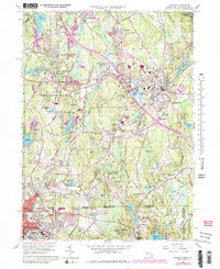
1964 Map of Franklin
USGS Topo · Published 1979About this map
The Charles River and Peters River systems anchor this study of the borderlands between Massachusetts and Rhode Island. Industrial and residential expansion is evident around Woonsocket and Franklin, where the Conrail lines intersect growing neighborhoods like Country View Estates and Valley View. Educational and religious institutions are prominent landmarks, including the Wentworth Institute, the Mt St Marys Abbey, and the Wrentham State School.
Find a feature on this map
100 named features on this map. Tap any name to fly to it.
Don’t see what you’re looking for? This feature index may not catch every label — zoom into the map to look around manually.
Map Details
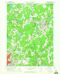
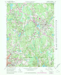
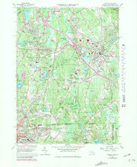
Editions of this 1964 Franklin Map
4 editions found
Other maps of this area

1886 · Blackstone
USGS Topo · 1:62,500

1887 · Franklin
USGS Topo · 1:62,500

1887 · Providence
USGS Topo · 1:62,500

1889 · Providence
USGS Topo · 1:62,500

1889 · Blackstone
USGS Topo · 1:62,500

1889 · Franklin
USGS Topo · 1:62,500

1889 · Burrillville
USGS Topo · 1:62,500

1893 · Franklin
USGS Topo · 1:62,500

1893 · Blackstone
USGS Topo · 1:62,500

1894 · Burrillville
USGS Topo · 1:62,500