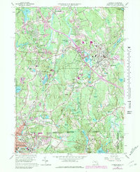
1964 Map of Franklin
USGS Topo · Published 1979About this map
The Charles River winds through the northern landscape of this survey, defining the industrial and residential development of Bellingham and Unionville. As the postwar era brought suburban growth to Norfolk County, new neighborhoods like Country View Estates and Scott Hill Acres began to fill the spaces between established centers. The presence of Dean Jr College and various parochial institutions, such as St Josephs Sch and the St Rita Convent, highlights the area's educational and religious foundations.
Find a feature on this map
114 named features on this map. Tap any name to fly to it.
Don’t see what you’re looking for? This feature index may not catch every label — zoom into the map to look around manually.
Map Details
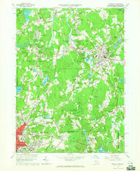
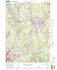
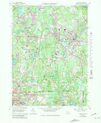
Editions of this 1964 Franklin Map
4 editions found
Other maps of this area

1886 · Blackstone
USGS Topo · 1:62,500

1887 · Franklin
USGS Topo · 1:62,500

1887 · Providence
USGS Topo · 1:62,500

1889 · Providence
USGS Topo · 1:62,500

1889 · Blackstone
USGS Topo · 1:62,500

1889 · Franklin
USGS Topo · 1:62,500

1889 · Burrillville
USGS Topo · 1:62,500

1893 · Franklin
USGS Topo · 1:62,500

1893 · Blackstone
USGS Topo · 1:62,500

1894 · Burrillville
USGS Topo · 1:62,500