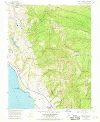
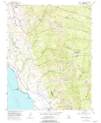
1955 Map of Franklin Point
USGS Topo · Published 1969About this map
Punta del Año Nuevo and the coastal shelf of The Mesa define this mid-century view of the San Mateo coast. The landscape is a transition from the Pacific Ocean shoreline, marked by Sand Dunes and the prominent Franklin Point, into the steep, redwood-shadowed canyons of the Santa Cruz Mountains. At this time, the interior is characterized by conservation and isolated industrial markers, including an Oil Well and the Butano Landing Field. The map records the early footprints of Butano State Park and Big Basin Redwoods State Park, while smaller settlements like Butano Park and the Sandy Point Guard Station suggest the localized activity of the era. Water dominates the rugged drainage patterns, from the cascading Butano Falls to the numerous creeks such as Gazos Creek and Waddell Creek that cut through the deep ridges.
Find a feature on this map
43 named features on this map. Tap any name to fly to it.
Don’t see what you’re looking for? This feature index may not catch every label — zoom into the map to look around manually.
Map Details
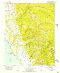
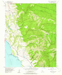
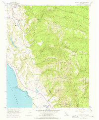
Editions of this 1955 Franklin Point Map
5 editions found
Other maps of this area

1897 · Palo Alto
USGS Topo · 1:62,500

1899 · Palo Alto
USGS Topo · 1:62,500

1902 · Santa Cruz
USGS Topo · 1:125,000

1940 · Halfmoon Bay
USGS Topo · 1:62,500

1940 · Ano Nuevo
USGS Topo · 1:62,500

1941 · Ano Nuevo Pt.
USGS Topo · 1:62,500

1941 · Palo Alto
USGS Topo · 1:62,500

1942 · Ano Nuevo
USGS Topo · 1:62,500

1943 · Palo Alto
USGS Topo · 1:62,500

1943 · Halfmoon Bay
USGS Topo · 1:62,500