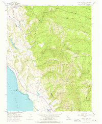
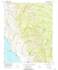
1955 Map of Franklin Point
USGS Topo · Published 1973About this map
The California coast near Franklin Point is defined by sharp topographic contrasts, where the coastal terrace of The Mesa meets the steep, redwood-forested drainages of the Santa Cruz Mountains. This mid-century survey reveals a landscape largely dedicated to conservation and resource management, dominated by the expansive Butano State Park and Big Basin Redwoods State Park. Deep in the canyons, the network of the South Fork Butano Creek and Waddell Creek illustrates the complex hydrological system that feeds the Pacific. Human activity is concentrated along the ridges and coastal flats, shown by the Butano Landing Field, the Pescadero High Sch, and various fire trails. The presence of the Yankee Jim Reservation and the remote Sandy Point Guard Station underscores the managed nature of this wilderness area during the 1950s.
Find a feature on this map
49 named features on this map. Tap any name to fly to it.
Don’t see what you’re looking for? This feature index may not catch every label — zoom into the map to look around manually.
Map Details
Editions of this 1955 Franklin Point Map
5 editions found
Other maps of this area

1897 · Palo Alto
USGS Topo · 1:62,500

1899 · Palo Alto
USGS Topo · 1:62,500

1902 · Santa Cruz
USGS Topo · 1:125,000

1940 · Halfmoon Bay
USGS Topo · 1:62,500

1940 · Ano Nuevo
USGS Topo · 1:62,500

1941 · Ano Nuevo Pt.
USGS Topo · 1:62,500

1941 · Palo Alto
USGS Topo · 1:62,500

1942 · Ano Nuevo
USGS Topo · 1:62,500

1943 · Palo Alto
USGS Topo · 1:62,500

1943 · Halfmoon Bay
USGS Topo · 1:62,500