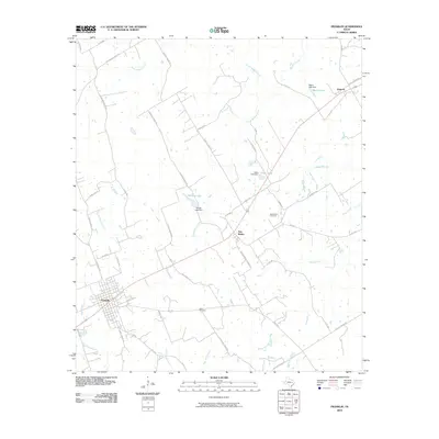
2010 Map of Franklin
USGS Topo · Published 2010About this map
The Robertson County seat of Franklin serves as the focal point of this 2010 survey, showing the town's street grid and its position as a regional transportation hub. Radiating from the center are numerous thoroughfares including Owensville Rd and N Town Loop, which connect the town to the surrounding agricultural prairie. To the northeast, the smaller settlements of New Baden and Easterly are established along the rail and highway corridors, with the New Baden Cemetery providing a clear record of the area's local genealogy.
Find a feature on this map
57 named features on this map. Tap any name to fly to it.
Don’t see what you’re looking for? This feature index may not catch every label — zoom into the map to look around manually.
Map Details
Editions of this 2010 Franklin Map
This is the sole edition of this map. No revisions or reprints were ever made.
Other maps of this area

1925 · Marquez No. 1
USGS Topo · 1:48,000

1925 · Marquez No. 4
USGS Topo · 1:48,000

1927 · Marquez
USGS Topo · 1:62,500

1930 · Marquez
USGS Topo · 1:62,500

1954 · Waco
USGS Topo · 1:250,000

1954 · Austin
USGS Topo · 1:250,000

1955 · Waco
USGS Topo · 1:250,000

1961 · Hearne North
USGS Topo · 1:24,000

1962 · Edge
USGS Topo · 1:24,000

1962 · Wheelock
USGS Topo · 1:24,000