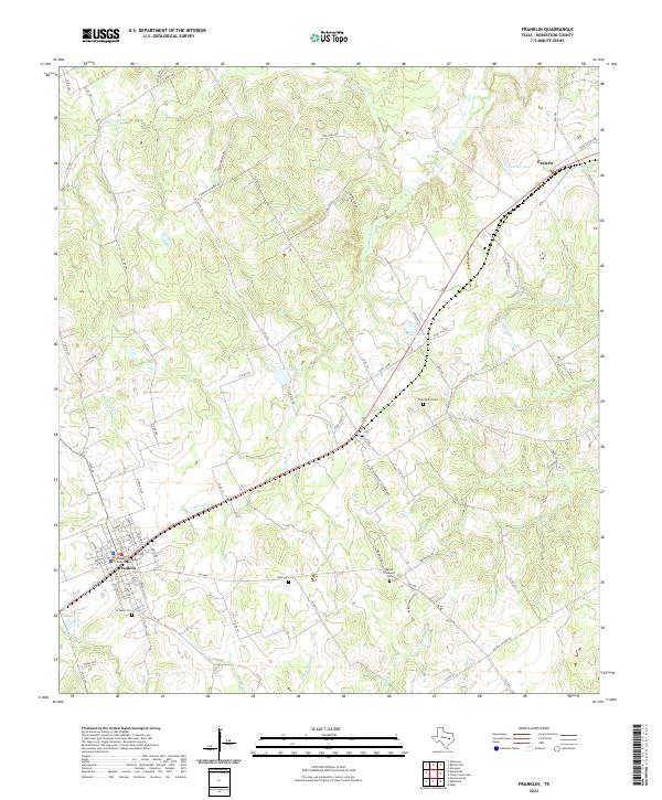
2022 Map of Franklin
USGS Topo · Published 2022About this map
Franklin serves as the focal point of this Robertson County survey, featuring the Robertson County Courthouse and the nearby Franklin Cem. The landscape is defined by the winding paths of N Mineral Cr, S Mineral Cr, and Mineral Cr, which carve through the undulating terrain of Central Texas. To the northeast, the smaller settlement of Easterly sits along a primary road corridor near Martin Lake. This map provides significant value for those researching local lineage or land history, as it identifies several rural burying grounds including New Baden Cem, Hale Cem, and Mount Pleasant Cem. Notable water bodies such as Schultz Lake and Casey Lake are scattered across the quadrangle, alongside numerous creeks like Camp Cr and Boggy Br, illustrating a well-watered agricultural and ranching district. The network of county roads, including E Boones Prairie Rd and Rabe Cutoff, connects these disparate homesteads and natural landmarks.
Find a feature on this map
85 named features on this map. Tap any name to fly to it.
Don’t see what you’re looking for? This feature index may not catch every label — zoom into the map to look around manually.
Map Details
Editions of this 2022 Franklin Map
This is the sole edition of this map. No revisions or reprints were ever made.
Other maps of this area

1925 · Marquez No. 1
USGS Topo · 1:48,000

1925 · Marquez No. 4
USGS Topo · 1:48,000

1927 · Marquez
USGS Topo · 1:62,500

1930 · Marquez
USGS Topo · 1:62,500

1954 · Waco
USGS Topo · 1:250,000

1954 · Austin
USGS Topo · 1:250,000

1955 · Waco
USGS Topo · 1:250,000

1961 · Hearne North
USGS Topo · 1:24,000

1962 · Edge
USGS Topo · 1:24,000

1962 · Wheelock
USGS Topo · 1:24,000