
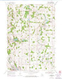
1954 Map of Franklin
USGS Topo · Published 1956About this map
The Sheboygan River winds through a landscape of dairy farms and rural crossroads in the mid-1950s, defining the boundaries of Rhine, Herman, and Plymouth townships. Institutional landmarks anchor the local community, notably Mission House College in the northeast and the Rocky Knoll Sanatorium further west. In the southern corner, the city of Plymouth emerges as a transportation hub, where the Chicago and North Western and the Chicago Milwaukee St Paul and Pacific railroads intersect near the Mill Pond and the County Fairground.
Find a feature on this map
38 named features on this map. Tap any name to fly to it.
Don’t see what you’re looking for? This feature index may not catch every label — zoom into the map to look around manually.
Map Details
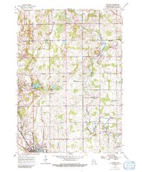
Editions of this 1954 Franklin Map
3 editions found
Other maps of this area

1954 · Sheboygan Falls
USGS Topo · 1:62,500

1954 · School Hill
USGS Topo · 1:24,000

1954 · Sheboygan Falls
USGS Topo · 1:24,000

1954 · St. Wendel
USGS Topo · 1:24,000

1954 · Howards Grove
USGS Topo · 1:62,500

1954 · Howards Grove
USGS Topo · 1:24,000

1954 · Kiel
USGS Topo · 1:62,500

1954 · Milwaukee
USGS Topo · 1:250,000

1955 · Kewaskum
USGS Topo · 1:62,500

1957 · Madison
USGS Topo · 1:250,000