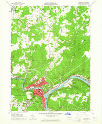
1963 Map of Franklin
USGS Topo · Published 1964About this map
Franklin serves as the industrial and civic anchor of this 1963 survey, situated at the strategic confluence where French Creek meets the Allegheny River. The landscape is defined by the heavy infrastructure of the era, including the Erie-Lackawanna and Pennsylvania railroads that parallel the riverbanks. Beyond the urban core, residential development stretches into Rocky Grove and up named elevations like Bleakley Hill and Oak Hill.
Find a feature on this map
67 named features on this map. Tap any name to fly to it.
Don’t see what you’re looking for? This feature index may not catch every label — zoom into the map to look around manually.
Map Details
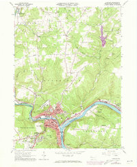
Editions of this 1963 Franklin Map
2 editions found
Other maps of this area

1909 · Franklin
USGS Topo · 1:62,500

1911 · Franklin
USGS Topo · 1:62,500

1922 · Oil City
USGS Topo · 1:48,000

1924 · Oil City
USGS Topo · 1:62,500

1927 · Townville
USGS Topo · 1:48,000

1927 · Titusville
USGS Topo · 1:62,500

1932 · Townville
USGS Topo · 1:62,500

1933 · Titusville
USGS Topo · 1:62,500

1943 · Oil City
USGS Topo · 1:62,500

1945 · Townville
USGS Topo · 1:62,500