
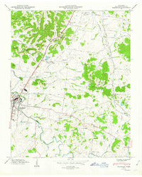
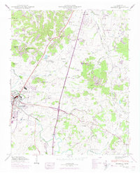
1949 Map of Franklin
USGS Topo · Published 1949About this map
The Harpeth River winds through this mid-century landscape, framing the eastern edge of Franklin and defining the agricultural character of Williamson County. The map captures a moment when the Louisville and Nashville railroad and the Andrew Jackson Highway were primary arteries through the valley, connecting the town to rural outposts like Ewingville and Mallory. The hills surrounding the basin are dotted with family-named landmarks and peaks such as Ropers Knob and Sliders Knob, while the valley floors are heavily partitioned into small farms and homesteads.
Find a feature on this map
91 named features on this map. Tap any name to fly to it.
Don’t see what you’re looking for? This feature index may not catch every label — zoom into the map to look around manually.
Map Details
Editions of this 1949 Franklin Map
3 editions found
Other maps of this area

1903 · Nashville
USGS Topo · 1:125,000

1909 · Franklin
USGS Topo · 1:62,500

1932 · Hermitage
USGS Topo · 1:62,500

1932 · Nashville
USGS Topo · 1:62,500

1936 · Spring Hill
USGS Topo · 1:24,000

1936 · Bethesda
USGS Topo · 1:24,000

1942 · Lebanon
USGS Topo · 1:100,000

1946 · Leipers Fork
USGS Topo · 1:24,000

1946 · Bethesda
USGS Topo · 1:24,000
1946 · Spring Hill
USGS Topo · 1:24,000
Featured Places
- Franklin, TN
- Brentwood, TN
- Jamestown, Brentwood
- Crockett Cove, Brentwood
- Concord Country Estates, Brentwood