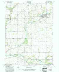
1962 Map of Frankton
USGS Topo · Published 1994About this map
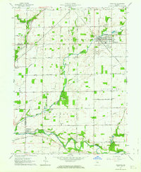
Pipe Creek snakes through the center of this Indiana landscape, anchoring the town of Frankton at a bend where rail and water once met. In the early 1960s, the surrounding countryside remained defined by its agricultural layout, punctuated by small rural centers like Aroma and Perkinsville. The map reveals a high density of local heritage sites, from the Camp Kikthawenund along the creek banks to numerous family and community burial grounds, including Howard Cem and the Ioof Cem.
Find a feature on this map
31 named features on this map. Tap any name to fly to it.
Don’t see what you’re looking for? This feature index may not catch every label — zoom into the map to look around manually.
Map Details
Editions of this 1962 Frankton Map
2 editions found
Other maps of this area

1952 · Anderson
USGS Topo · 1:24,000

1953 · Lapel
USGS Topo · 1:24,000

1953 · Riverwood
USGS Topo · 1:24,000

1953 · Muncie
USGS Topo · 1:250,000

1956 · Muncie
USGS Topo · 1:250,000

1960 · Elwood
USGS Topo · 1:24,000

1960 · Alexandria
USGS Topo · 1:24,000

1960 · Windfall
USGS Topo · 1:24,000

1960 · Anderson North
USGS Topo · 1:24,000

1961 · Anderson South
USGS Topo · 1:24,000