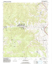
1991 Map of Frazier Mtn
USGS Topo · Published 1992About this map
The San Andreas Rift Zone cuts directly through the heart of this landscape, creating a distinct linear valley that separates the Tecuya Ridge from Frazier Mountain. This geological fracture is the defining characteristic of the terrain, influencing the placement of settlements like Frazier Park and Lake of the Woods. In the northeast corner, the historic grounds of Old Fort Tejon and Fort Tejon State Historic Park sit near Tejon Pass, a critical mountain crossing that has dictated movement through the region for generations.
Find a feature on this map
35 named features on this map. Tap any name to fly to it.
Don’t see what you’re looking for? This feature index may not catch every label — zoom into the map to look around manually.
Map Details
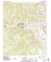
Editions of this 1991 Frazier Mtn Map
2 editions found
Other maps of this area

1903 · Mt. Pinos
USGS Topo · 1:125,000

1903 · Tejon
USGS Topo · 1:125,000

1933 · Gorman
USGS Topo · 1:24,000

1938 · Gorman
USGS Topo · 1:24,000

1942 · Tecuya Creek
USGS Topo · 1:24,000

1942 · Frazier Mountain
USGS Topo · 1:24,000

1943 · Cuddy Valley
USGS Topo · 1:24,000

1943 · Lockwood Valley
USGS Topo · 1:24,000
1944 · Pleito Hills
USGS Topo · 1:31,680
1944 · Frazier Mountain
USGS Topo · 1:31,680