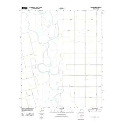
2012 Map of Frederick SW
USGS Topo · Published 2012About this map
The Red River defines the landscape of this borderland region where Oklahoma and Texas meet. The river's winding course is joined by the N Fork Red River, creating a complex network of sandbars and shifting channels characteristic of the Southern Plains. To the south, Salt Cr cuts across the terrain, contributing to the distinct hydrological pattern of the basin. The area is defined by a rigid grid of rural roads, including Fm 924 and Co Rd 111 N, which partition the land into large agricultural blocks. This 2012 survey illustrates a landscape primarily shaped by the intersection of natural river dynamics and the deliberate, rectilinear human imprint of ranching and farming infrastructure typical of Jackson County and the neighboring Texas borderlands.
Find a feature on this map
23 named features on this map. Tap any name to fly to it.
Don’t see what you’re looking for? This feature index may not catch every label — zoom into the map to look around manually.
Map Details
Editions of this 2012 Frederick SW Map
This is the sole edition of this map. No revisions or reprints were ever made.
Other maps of this area

1955 · Lawton
USGS Topo · 1:250,000

1958 · Davidson
USGS Topo · 1:62,500

1958 · Frederick
USGS Topo · 1:62,500

1958 · Vernon
USGS Topo · 1:62,500

1958 · Elmer
USGS Topo · 1:62,500

1975 · Elmore City NE
USGS Topo · 1:24,000

1975 · Frederick NE
USGS Topo · 1:24,000

1975 · Frederick SW
USGS Topo · 1:24,000

1975 · Frederick NW
USGS Topo · 1:24,000

1975 · Frederick SE
USGS Topo · 1:24,000