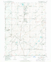
1950 Map of Frederick
USGS Topo · Published 1969About this map
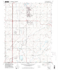
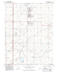
Coal mining operations and intensive agricultural irrigation define this section of Weld County as it appeared at mid-century. A cluster of settlements including Firestone, Frederick, and Dacono are concentrated along the Union Pacific railroad line, showing a landscape built on the extraction of coal. This industrial focus is evidenced by the numerous named shafts and pits scattered across the quadrangle, such as the Shamrock Mine, Boulder Valley Mine, and Imperial Mine, as well as the State Coal Mine Junction.
Find a feature on this map
36 named features on this map. Tap any name to fly to it.
Don’t see what you’re looking for? This feature index may not catch every label — zoom into the map to look around manually.
Map Details
Editions of this 1950 Frederick Map
7 editions found

Other maps of this area

1890 · East Denver
USGS Topo · 1:125,000

1899 · West Denver
USGS Topo · 1:125,000

1902 · Greeley
USGS Topo · 1:125,000

1904 · Niwot
USGS Topo · 1:62,500

1940 · Brighton
USGS Topo · 1:31,680

1940 · Eastlake
USGS Topo · 1:31,680

1940 · Lafayette
USGS Topo · 1:31,680

1944 · Lafayette
USGS Topo · 1:31,680

1944 · Brighton
USGS Topo · 1:31,680

1944 · Eastlake
USGS Topo · 1:31,680