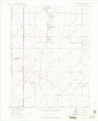
1950 Map of Frederick
USGS Topo · Published 1974About this map
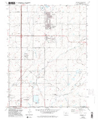
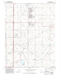
Coal mining and irrigation define the landscape of the Tri-Towns region of Weld County in this mid-century survey. The area is dominated by the industrial footprint of the Union Pacific railroad and a dense concentration of sub-surface resources, evidenced by the Boulder Valley Mine, Baum Mine, and Eagle Mine. At State Coal Mine Junction, the rail infrastructure supported the heavy output of these operations, while the surrounding residential settlements of Frederick, Dacono, and Firestone housed the local workforce. Beyond the industrial corridors, the terrain transitions into an intricate network of water management features. A system of ditches, including the Sullivan Ditch and Bull Ditch, divert water across the plains, supporting the agricultural life centered around landmarks like the Mount View School and Pleasant Valley School. This record captures a moment when the legacy of Colorado's coal era remained physically central to the local geography.
Find a feature on this map
39 named features on this map. Tap any name to fly to it.
Don’t see what you’re looking for? This feature index may not catch every label — zoom into the map to look around manually.
Map Details
Editions of this 1950 Frederick Map
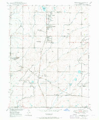
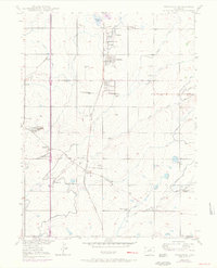
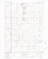
7 editions found

Other maps of this area

1890 · East Denver
USGS Topo · 1:125,000

1899 · West Denver
USGS Topo · 1:125,000

1902 · Greeley
USGS Topo · 1:125,000

1904 · Niwot
USGS Topo · 1:62,500

1940 · Brighton
USGS Topo · 1:31,680

1940 · Eastlake
USGS Topo · 1:31,680

1940 · Lafayette
USGS Topo · 1:31,680

1944 · Lafayette
USGS Topo · 1:31,680

1944 · Brighton
USGS Topo · 1:31,680

1944 · Eastlake
USGS Topo · 1:31,680