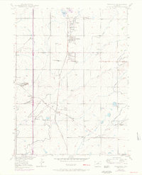
1950 Map of Frederick
USGS Topo · Published 1970About this map
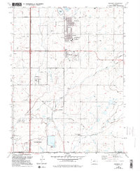
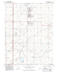
Firestone, Frederick, and Dacono anchor this 1950s survey of the Weld County coal fields, showing a landscape defined by industrial extraction and rail transport. The Union Pacific corridor facilitates a dense network of mining operations, including the Shamrock Mine, Sterling Mine, and the Baum Mine. The map captures the infrastructure of the era, from the State Coal Mine Junction to the local Evanston community. Beyond the towns, the terrain is marked by essential water management features like Firestone Lake and numerous irrigation ditches that support the surrounding agricultural land. Educational and social centers for the rural population are well-represented by the Mount View School and Pleasant Valley School, providing valuable landmarks for those tracing the development of these High Plains settlements.
Find a feature on this map
51 named features on this map. Tap any name to fly to it.
Don’t see what you’re looking for? This feature index may not catch every label — zoom into the map to look around manually.
Map Details
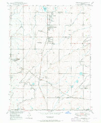
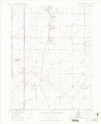
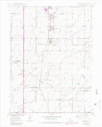
Editions of this 1950 Frederick Map
7 editions found

Other maps of this area

1890 · East Denver
USGS Topo · 1:125,000

1899 · West Denver
USGS Topo · 1:125,000

1902 · Greeley
USGS Topo · 1:125,000

1904 · Niwot
USGS Topo · 1:62,500

1940 · Brighton
USGS Topo · 1:31,680

1940 · Eastlake
USGS Topo · 1:31,680

1940 · Lafayette
USGS Topo · 1:31,680

1944 · Lafayette
USGS Topo · 1:31,680

1944 · Brighton
USGS Topo · 1:31,680

1944 · Eastlake
USGS Topo · 1:31,680