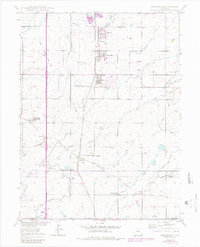
1950 Map of Frederick
USGS Topo · Published 1980About this map
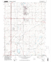
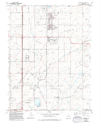
Coal extraction dominates this corner of Colorado, where the Union Pacific railroad line stitches together a series of industrial settlements including Firestone, Frederick, and Dacono. The map reveals a landscape defined by underground wealth, with numerous operations like the Sterling Mine, Baum Mine, and Shamrock Mine situated between the towns and agricultural ditches. This 1950 survey, updated in the late 1970s, captures the local infrastructure of the Northern Colorado Coal Field, from the State Coal Mine Junction to the Pumping Sta near Evanston. Education and irrigation provide the community framework alongside the mines, evidenced by the Mount View School and a complex network of waterways like the Lower Boulder Ditch and Stanley Ditch. The transition from heavy mining to more established residential pockets is visible in features like the Trailer Park and CAA Radio Beam facility near Cleveland.
Find a feature on this map
39 named features on this map. Tap any name to fly to it.
Don’t see what you’re looking for? This feature index may not catch every label — zoom into the map to look around manually.
Map Details
Editions of this 1950 Frederick Map
7 editions found

Other maps of this area

1890 · East Denver
USGS Topo · 1:125,000

1899 · West Denver
USGS Topo · 1:125,000

1902 · Greeley
USGS Topo · 1:125,000

1904 · Niwot
USGS Topo · 1:62,500

1940 · Brighton
USGS Topo · 1:31,680

1940 · Eastlake
USGS Topo · 1:31,680

1940 · Lafayette
USGS Topo · 1:31,680

1944 · Lafayette
USGS Topo · 1:31,680

1944 · Brighton
USGS Topo · 1:31,680

1944 · Eastlake
USGS Topo · 1:31,680