
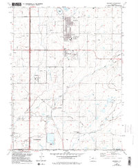
1950 Map of Frederick
USGS Topo · Published 1950About this map
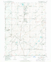
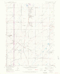
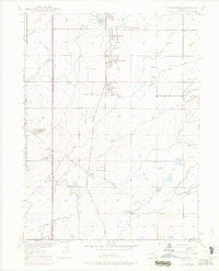
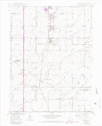
Coal extraction along the Union Pacific rail corridor dominates this landscape at the edge of the Weld and Adams county line. The trio of Firestone, Frederick, and Dacono forms a tight industrial cluster, their growth driven by a series of significant mining operations such as the Shamrock Mine, Baum Mine, and Sterling Mine. This 1950 survey reveals a high concentration of schools serving these mining communities, including Mount View School, Mountain View School, and Pleasant Valley School, indicating a settled residential landscape amidst the heavy industry.
Find a feature on this map
35 named features on this map. Tap any name to fly to it.
Don’t see what you’re looking for? This feature index may not catch every label — zoom into the map to look around manually.
Map Details
Editions of this 1950 Frederick Map
7 editions found
Other maps of this area

1890 · East Denver
USGS Topo · 1:125,000

1899 · West Denver
USGS Topo · 1:125,000

1902 · Greeley
USGS Topo · 1:125,000

1904 · Niwot
USGS Topo · 1:62,500

1940 · Brighton
USGS Topo · 1:31,680

1940 · Eastlake
USGS Topo · 1:31,680

1940 · Lafayette
USGS Topo · 1:31,680

1944 · Lafayette
USGS Topo · 1:31,680

1944 · Brighton
USGS Topo · 1:31,680

1944 · Eastlake
USGS Topo · 1:31,680